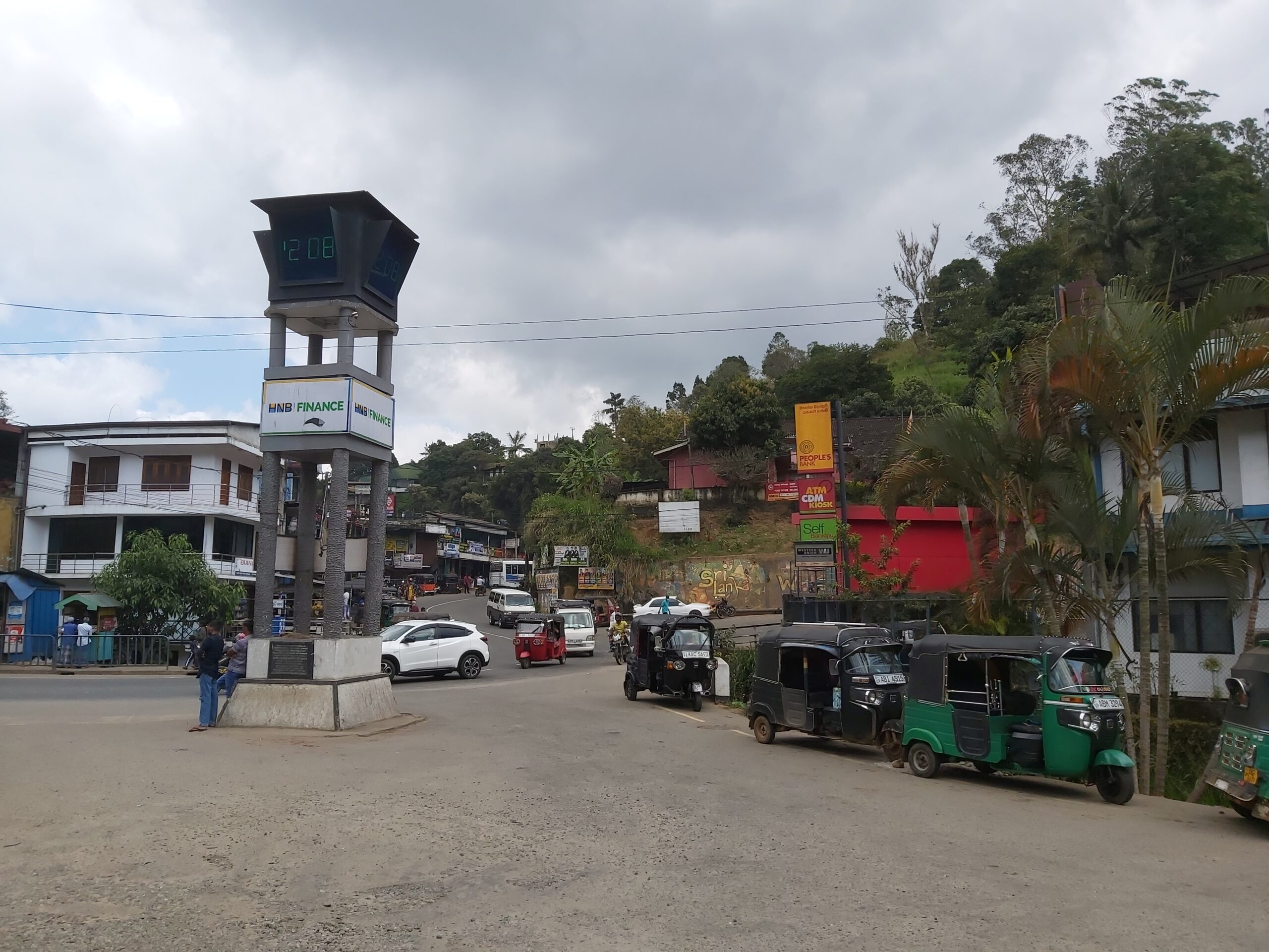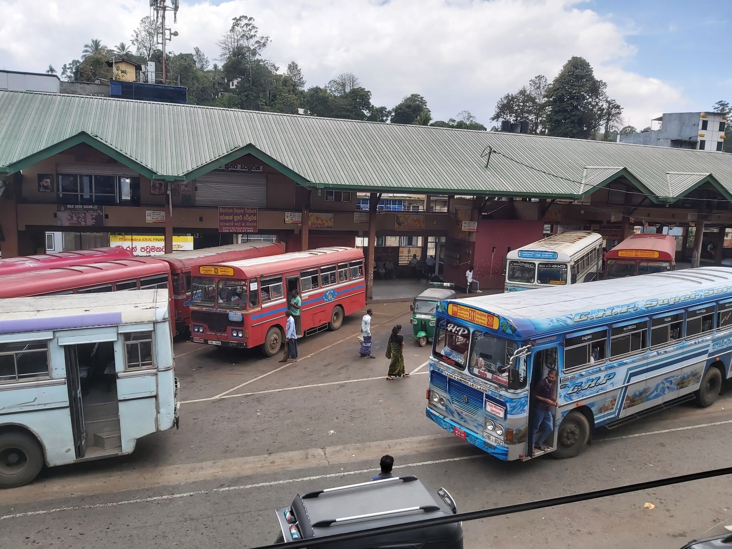
CITY INFORMATION
It is no secret that the Welimada Divisional Secretariat Division has achieved rapid development in recent years among the regional secretariat divisions in Sri Lanka. The Welimada Divisional Secretariat Division, which is historically more important, is located in the Uva Basin in the Uva Province. Welimada Divisional Secretariat, where the highest point of Uva province is located, is 1041 meters above sea level. The Welimada Plateau has gained prominence in the geographical area. Relative location: It is bordered by Uvaparanagama Divisional Secretariat to the north, Nuwara Eliya Divisional Secretariat to the west, Hali Ella and Bandara Wela Divisional Secretariat to the east and Hapu Kale Haldum Mulla Divisional Secretariat to the south.
In the book Uva History, it is mentioned about the origin of the name Welimada that it got the name Welimada due to the abundance of sandy loam soil in this area. Also, it is believed that the emergence of sea sand from Diyamolli, which received water from the holy lake near this area, also led to the name Welimada. As mentioned in the folklore, Kataragama is also related to God. That is, Valli Amma Devi had spent one day and night in this area during her journey to Kataragama. It is said that at that time a mud was built by the local residents to give shelter to Goddess Valli Amma and a nava san palak was built and that mud was called the mud where Valli Amma stopped and later it was used as Valli Madama and these names are known as Welimada today. is
In identifying the background of the Welimada Divisional Secretariat, its area is 187 square kilometers. The size of the district is 6.62% of the size of the district, where the village officials manage the administrative work from 64 domains. Initially this area was introduced as revenue administrative divisions and it consisted of 18 village officer divisions. At that time there were 138 old villages and now it consists of 295 villages.
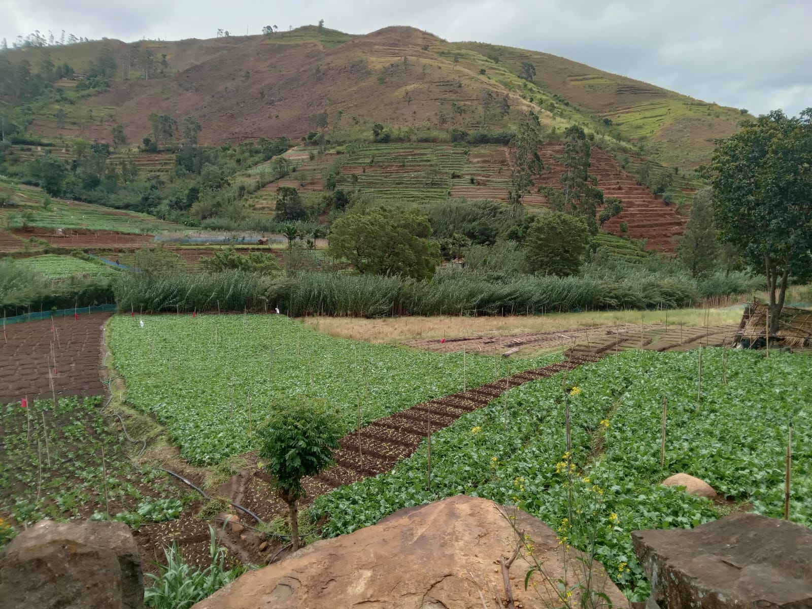
In terms of climatic conditions, it has a very pleasant climate. The average temperature is around 17 degrees Celsius. Strong winds blow from May to September every year. September to April is the rainy season. The Alla Dola streams flow from west to east due to the western slope of the mountain range extending north and south from the Horton plain. Among them, Dulgolla Ma Katilla is the main tributary of Uma Oya. Evergreen forests are found throughout the area and Ambewela and Ohia areas are considered as natural forest areas above 5000 feet. The loamy laterite soil is widespread in the area. Apart from this, laterite soil with silt and silt soil can be seen in abundance. The beautiful Haggala flower garden in Sri Lanka and the surrounding Haggala forest reserve are unique to Sri Lanka, and rare species of butterflies, lizards and bird species are the resources of this area.
Historically, Divurumwela Ancient Temple, Kalu Bululanda Temple, Murugan Temple in Sri Gnayak and Kappetipola Fort hold a special place. The temple known as Divurumwela Purana Vihara is also considered to be the place where Goddess Sita swore in the story of Rama Ravana. Sri Gnana Shakti Murugan Temple is related to a story related to Lord Thanagama.
Welimada Divisional Secretariat claims to be a multi-religious as well as multicultural environment. The majority are Sinhalese and by religion the majority are Buddhists. A large number of people in the area are engaged in agriculture and their vast majority are engaged in commercial vegetable cultivation. In particular, most of the vegetables required by Sri Lanka are produced by the farmers of this area. This area is best known for potato cultivation and commercial cultivation of vegetables such as carrots, beans, leeks, cabbage, bell pepper, strawberries, peas and flowers etc. In addition to this, Eucalyptus cultivation has been done on a large scale as a government forestry to meet the government’s timber requirement. have